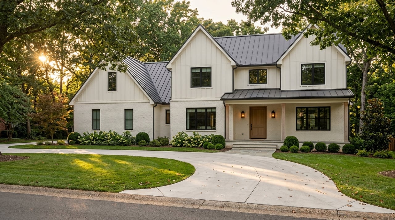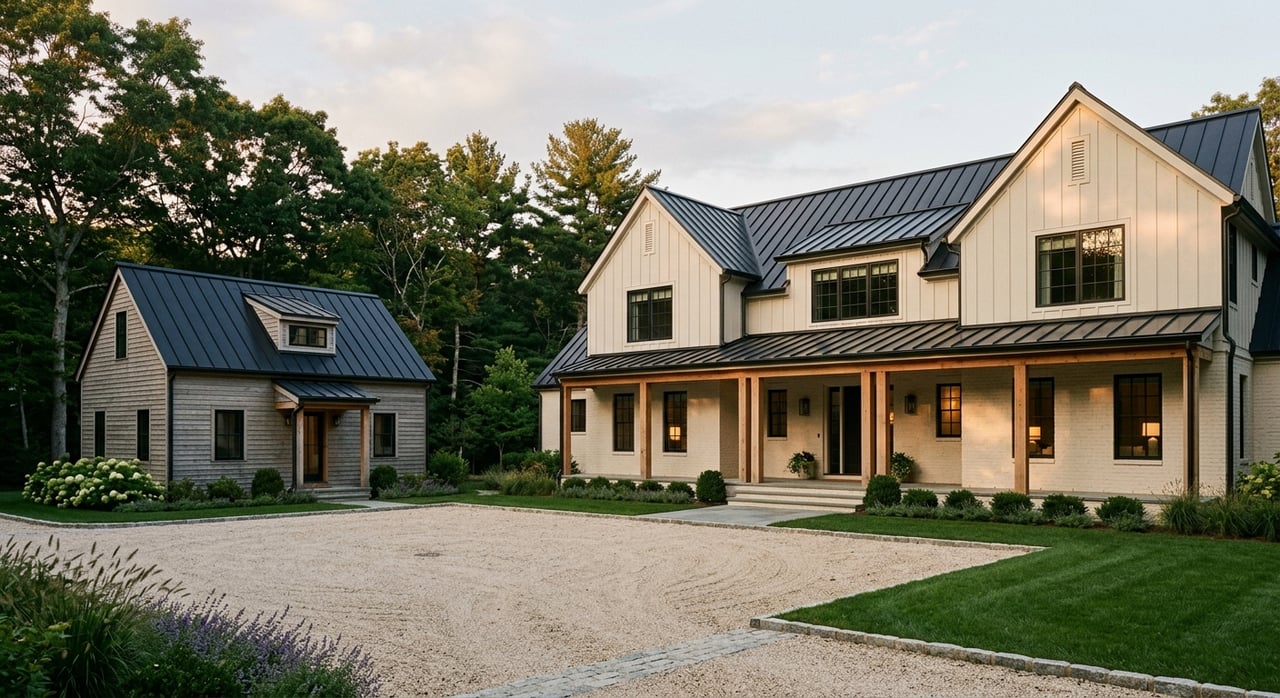
You want room to breathe, ride, or grow just outside Nashville. But acreage around Franklin comes with its own language, from surveys to septic and easements. If you are weighing a farm, equestrian estate, or private compound, understanding these terms will save you time, money, and stress. This glossary gives you clear definitions, local checks, and next steps tailored to Franklin and Williamson County. Let’s dive in.
Surveys, access, and legal basics
Boundary survey
A professional map that locates true property corners, boundary lines, and visible improvements. In Franklin-area acreage purchases, it is essential when listings note “approx. acres” or when you plan to build. Ask if the seller has a recent survey and whether corner monuments are set.
ALTA/NSPS survey
A detailed standard often required by lenders for large acreage or commercial-ag loans. It maps boundaries, recorded easements, access, utilities, and improvements. Order this when title complexity, easements, or lender requirements are in play.
Topographic survey
Shows elevation contours, drainage, and spot grades. Use it to plan driveways, building sites, barns, and arena drainage. It helps estimate cut-and-fill and stormwater needs on rolling Williamson County terrain.
Improvement Location Certificate (ILC)
A lower-cost sketch used by some lenders to show structure locations relative to boundaries. It is not a full boundary survey and should not be relied on for fencing, new buildings, or setback decisions.
Metes-and-bounds description
Common on older rural deeds in Tennessee. Describes lines using bearings, distances, and monuments like iron pipes or trees. A surveyor must locate or re-establish these monuments to confirm the actual boundary on the ground.
Easement
A recorded right to use part of a property for a specific purpose. Types you will see in Franklin include access easements for driveways and utility easements for lines or pipes. Confirm each easement’s location on the survey and its recorded terms.
Access easement
Grants the right to cross another parcel to reach a landlocked property. Verify whether access is private or public, who maintains it, and that it is recorded. Do not rely only on long-time use or a neighbor’s verbal OK.
Prescriptive easement
Rights created by long-term use. These are complex and fact-specific. Confirm access in the title work and survey rather than assuming historical use will continue.
Right-of-way (ROW)
Land reserved for roads or utilities. Road ROW can extend well beyond the pavement and affects where you can fence, plant, or build. Check the recorded ROW on the survey to avoid encroachments.
Road frontage
The length of a property along a road. Some jurisdictions require minimum frontage for permits or subdivision. Properties may be corner, through, or flag lots, and each affects privacy, driveway placement, and buffer rules.
Private vs. public road
Private roads usually require a recorded maintenance agreement that spells out repair and cost sharing. Public roads tie into county, city, or state permitting for driveway cuts and sight distances. Confirm which applies before you plan access.
Soils, septic, wells, and water
USDA NRCS Web Soil Survey
The standard tool to review soil series, slope, drainage, and limitations for septic or pasture. Use the USDA NRCS Web Soil Survey to screen a parcel’s soils before you write an offer. In Williamson County, soil types vary widely across a single tract.
Percolation test and soil/site evaluation
On parcels without municipal sewer, septic suitability hinges on soil performance. Williamson County Environmental Health issues permits after a successful soil evaluation and, in some cases, percolation tests. This determines system size, setbacks, and where you can build.
Septic permit
A formal approval to install a private on-site system. Setbacks from wells, streams, and property lines can shrink the usable building area. Contact Williamson County Environmental Health early to understand capacity and location options.
Water well
A drilled or dug well that supplies domestic water in rural areas. Test yield and water quality, especially for iron, hardness, and bacteria, before closing. The Tennessee Department of Environment and Conservation sets well construction standards and contractor licensing.
Karst
A limestone-based geology common in Middle Tennessee that can create sinkholes, influence drainage, and affect well yields. Karst conditions call for careful site planning and, at times, engineering review. For regional context, see the USGS.
Floodplain
Land with identified flood risk on FEMA maps. Building in mapped floodplains or floodways requires specific permits, elevation data, and possibly flood insurance. Check a parcel’s status on the FEMA Flood Map Service Center.
Wetlands
Areas with saturated soils that may be regulated by federal and state agencies. Presence of wetlands can limit construction or require mitigation. When in doubt, consult a qualified wetlands professional during due diligence.
Utilities and driveway access
Municipal vs. private services
Inside Franklin city limits, you may have access to municipal water and sewer. Outside city limits, most acreage relies on wells and septic. Power is provided by municipal utilities or rural electric membership corporations depending on location.
Natural gas and internet
Natural gas is often unavailable in rural parts of Williamson County, so many owners use propane. Internet options vary; fiber and cable cluster near city corridors while rural areas may need fixed wireless, satellite, or cellular hotspots. Verify options with providers during the option period.
Driveway permit
A permit for a new road cut onto a public road. Requirements, sight distances, and culverts vary by jurisdiction, including the City of Franklin, Williamson County, or TDOT for state roads. Confirm jurisdiction before you design the driveway.
Utility easement and setbacks
Recorded strips where utilities have rights to access and maintain lines. You cannot place buildings and, often, fencing or trees within these zones. Make sure easements are plotted on your survey before you finalize your site plan.
Service extension costs
Extending electric, water, or communications across acreage can be costly. Obtain written quotes early and confirm pole, transformer, and conduit locations. These items can be material hidden costs for rural builds.
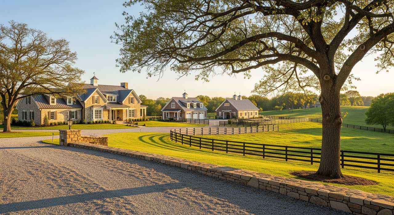
Fencing, livestock, and equestrian features
Post-and-board fencing
A classic horse-safe option with good visibility. Typical horse fence height is 4 to 5 feet. It is attractive, forgiving on impact, and requires periodic maintenance.
Woven and mesh fencing
Useful for smaller livestock and for horse paddocks when combined with a smooth top rail. It protects legs and reduces escape risks for smaller animals. Inspect for condition and safe fasteners.
High-tensile and electric fencing
A cost-effective choice for perimeter or cross-fencing. Horses may not see it well unless you add sight strips or flags. Ensure energizers and grounding are correctly installed for safety.
Rotational grazing
Cross-fencing pastures into paddocks to allow grass to rest and regrow. This can improve forage quality and reduce overgrazing. Plan gates, water access, and shade for smooth rotation.
Run-in sheds and barns
Shelter should sit on higher ground with good drainage. Local setbacks will guide placement, and larger barns may trigger additional permits. Position manure storage downhill and away from wells and streams.
Arena planning
Footing, drainage, and dust control are key for outdoor or indoor arenas. Many owners order a topo survey and consult a soils professional to dial in grading and stormwater. Good drainage protects footing investment.
Manure management
Have a plan for storage, composting, and removal. Avoid siting manure uphill from water sources. Follow Tennessee guidance on nutrient and buffer practices to protect water quality.
Local rules and the Franklin context
City vs. county jurisdiction
Rules differ inside the City of Franklin compared with unincorporated Williamson County. Confirm early which office governs zoning, setbacks, driveways, and utilities. Start with the City of Franklin or Williamson County Government to identify your path.
Conservation easement
A recorded restriction that can limit subdivision, new structures, or certain uses to protect land and habitat. Ask the title company to pull all recorded covenants and easements. For context on private land conservation, see the Land Trust for Tennessee.
Title insurance and recorded documents
Order a title search and review all easements, access rights, and restrictions. If your parcel is accessed by an easement or private road, obtain the recorded document and confirm maintenance terms. Consider title insurance for added protection.
Franklin due diligence checklist
Preliminary screening
- Review parcel boundaries on county GIS and proximity to city limits, roads, and utilities.
- Check floodplain on county or city GIS and confirm on FEMA maps.
- Request any existing survey or plat. If none exists, plan to order one.
Surveys
- Order a boundary or ALTA/NSPS survey if acreage accuracy, access, or lender requires it.
- Add a topo survey if you plan a driveway, barn, or arena and want grading clarity.
Soil, septic, and well
- Schedule a soil/site evaluation and, if required, a percolation test through Williamson County Environmental Health.
- If a well exists, conduct a flow test and water quality analysis. If not, consult local well drillers on feasibility.
Utilities and access
- Contact municipal utilities and local EMCs to confirm availability and extension costs.
- Verify whether access is via public or private road and locate any recorded maintenance agreement.
- Confirm driveway permit requirements with the proper jurisdiction.
Environmental and use
- Check for conservation easements, deed restrictions, or agricultural classifications that affect use.
- Evaluate erosion control, riparian buffers, and manure management if you plan livestock or equestrian uses.
Title and legal
- Order a title search and gather all recorded easements and covenants. Consider title insurance.
- If access is by easement, obtain the recorded instrument and confirm rights and maintenance.
Specialized inspections
- For equestrian facilities, consult an experienced designer or contractor to scope barns, arenas, fencing, and manure systems.
- For sloping or karst sites, consider a civil or geotechnical review.
Who to contact in Franklin
- Williamson County Planning and Zoning and Environmental Health for county setbacks, subdivision, and septic permitting. Start at the Williamson County Government portal.
- City of Franklin Planning, Codes, and Utilities for in-city development and municipal service questions. Visit the City of Franklin.
- Tennessee Department of Environment and Conservation for statewide well and on-site sewage rules. Explore TDEC.
- USDA NRCS Web Soil Survey for parcel-by-parcel soil data. Use the NRCS Web Soil Survey.
- FEMA Flood Map Service Center to confirm flood zone status. Check FEMA MSC.
- USGS and Tennessee Geological Survey for karst and groundwater context. See the USGS for regional resources.
- Land Trust for Tennessee for conservation easement education. Learn more at the Land Trust for Tennessee.
Smart buyer takeaways
- Do not assume all acreage is buildable or equally usable. Septic, wells, floodplains, wetlands, and easements shape the true building envelope.
- Budget time and money for surveys, soils, permits, and utility extensions. These steps protect your investment and prevent redesigns.
- Engage the right experts early. A surveyor, soils professional, well driller, and experienced equestrian contractor can save you from costly surprises.
Ready to explore Franklin acreage with confidence? For discreet, full-service guidance tailored to farms, equestrian estates, and legacy properties, connect with Jamie Parsons. Request a Confidential Consultation.
FAQs
What is a boundary survey when buying Franklin acreage?
- A boundary survey marks true property lines and corners, which protects you when acreage is listed as “approx.” and when planning fences or new structures.
How do I check septic feasibility on a Williamson County parcel?
- Order a soil/site evaluation and, if needed, a percolation test through Williamson County Environmental Health, which determines system size and placement.
Where can I see if part of a property is in a floodplain?
- Search the parcel on the FEMA Flood Map Service Center and review local county or city GIS overlays for floodways and floodplains.
What is an access easement, and why does it matter?
- It grants you the right to cross another property for access; you must confirm it is recorded and maintained to avoid future disputes.
How does karst affect my build near Franklin?
- Karst can create sinkholes and influence drainage and wells, so sloping or karst-prone sites may warrant engineering or geotechnical review.
What are common hidden costs when developing rural land?
- Utility extensions, driveway construction, septic system upgrades, grading, and drainage remediation can add significant, time-sensitive costs.